
ARCHAEOLOGICAL SURFACE RESEARCH IN THE ANCIENT CITY OF LYSTRA
| Date | 15.10.2021 |
| Department | Rectorate |
| SDG |  |
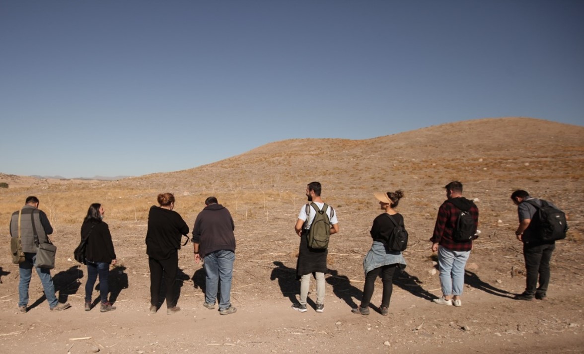
Lystra Antique City Survey, which is accepted as Konya province, Meram district, Hatunsaray district and its surroundings. Instructor It started on 04.10.2021 under the scientific research presidency of its member İlker Mete Mimiroğlu. Within the scope of the Lystra Ancient City Archaeological Survey, Lystra (Zoldra) Mound, Gömse Bridge, Necropolis area around the mound, Botsa (Güneydere) Village, Gökçeyurt Village-Bediroğlu locality, rock-cut structures in Koruluk, Kavak Neighborhood Pasha Cemetery and its surroundings were examined. The research was carried out with the participation of three archaeologists, two art historians, five architects, two map engineers, two geological engineers and a total of ten students. The Archaeological Survey of the Ancient City of Lystra, which lasted approximately two weeks; It was sponsored by Necmettin Erbakan University, Meram Municipality, Erka Media, Serper Group, Somun Construction, Koyuncu Lidar Mapping and Engineering and Mihel Architecture Design.
Selçuk University Archeology Department faculty members Dr. Instructor Member Deniz Sevmen, Dr. Instructor Member Suhal Sağlam, Dr. Instructor Member Zafer Korkmaz, Aksaray University Lecturer as Art Historian. See. Mert Kocaman and Necmettin Erbakan University Art History Department Early Christian and Byzantine Arts Department Res. See. Cahit Karakök, as Architect, Necmettin Erbakan University Department of History of Architecture Assoc. Dr. Esra Yaldız, Tuba Bülbül Bahtiyar, Ecrin Nisa Berk, Bedre Çeşminaz Küçük, Mehmet Safa Karakaya as M.Sc. Engineer, Selçuk University Lect. See. Ömür Esen, for the application of Jeoradar, Fırat Yiğit and Necmettin Erbakan University Art History Department students, Bengisu Kartal, Doğukan Çelik, Muhammed Çetin, Murat Gaymaz, İsmail Can Görenekli, Rumeysa Dilara Özkan, Elif Çoban, Eren Işık, Tayyip Erdoğan Öz.
The Archaeological Survey of the Ancient City of Lystra in the province of Konya, Meram district, was carried out in and around the Hatunsaray neighborhood, which is now considered Lystra. The survey started with the photographing of the Lystra (Zoldra) Mound, located in the Hatunsaray district of Konya province, Meram district, and the examination of its surroundings. While the findings belonging to . This situation increases the importance of the mound by showing that it hosted many periods. There is a bridge over Koca Çay in the old Gömse Village of the Hatunsaray neighborhood of the Meram district. The building and its surroundings were examined by going to the Gömse Bridge, which is known to have arched and nine eyes in its original form, but is now standing with two eyes. The building was first photographed, then the dimensions of the building were determined by Assoc. Dr. The drawings were completed by Esra Yaldız and her team. There is a hill in Meram district, Gökçeyurt Village, Bediroğlu locality. An apse, a rectangular building and pits dug by smugglers were found in Bediroğlu Mevkii. The existence of a church is thought to be due to the apse and the crossed door lintel.
Meram province, Kavak District, Pasha Cemetery was investigated. Architectural stone artifacts used in various sizes and functions were identified in this cemetery, and the artifacts were photographed one by one, their measurements were taken and their inventories were created. Botsa (Güneydere) Village is a rural settlement in the Meram district of Konya, approximately 45 km from the city. In the researches, it was determined that the area where Botsa Village is located is volcanic lands formed by Miocene-Lower Pliocene lava accumulations. It is defined by the Botsa Stream and the valley formed by the tuff rocks surrounding the village. There are many rock-carved structures, churches and warehouses on the tuff rocks surrounding both sides of the valley. On the mound, georadar scanning was carried out by Fırat Yiğit in a total of five areas, three in rectangular form and two in square form. While georadar was applied on the mound, Assoc. Dr. Esra Yaldız and her team completed the drawings by first measuring the building remains at the foot of the Lystra Mound, then the apse and rectangular planned structures in the Meram district, Gökçeyurt Village, Bediroğlu locality. In Hatunsaray district, Koruluk locality, on the northern slope of the valley, on the natural rock mass that continues in the east-west direction, rock carvings of different sizes can be seen. Within the scope of the research, four rock-hewn spaces from these structures were examined.